

Use the "back" button of your browser to return to the list of abstracts.
IDENTIFICATION AND PRIORITIZATION OF SUBWATERSHEDS FOR LAND AND WATER MANAGEMENT IN TEKEZE DAM WATERSHED, NORTHERN ETHIOPIA [Abstract ID: 0608-07]
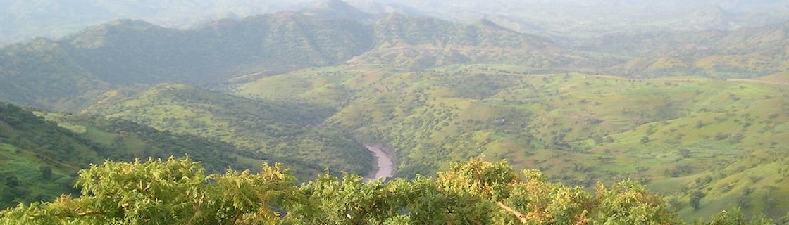
Sedimentation and/or soil erosion are huge problems that have threatened many reservoirs in the Northern Ethiopian highlands, particularly in the Tekeze dam watershed. This study was done to identify and prioritize the most sensitive subwatersheds with the help of a semi-distributed watershed model (SWAT 2009) for improved management of reservoir sedimentation mitigating strategies at watershed scale. SWAT 2009 was chosen for this study because of its ability to produce routed sediment yield and identify principal sediment source areas at the selected point of interest. On the basis of a digital elevation model (DEM), the catchment was divided into 47 subwatersheds using the dam axis as the main outlet. By overlaying land use, soil, and slope of the study area, the subwatersheds were further divided into 690 hydrological response units (HRUs). Model calibration (for the period January 1996 to December 2002) and validation (for the period January 2003 to December 2006) were carried out for stream flow rate and sediment yield data observed at Emba Madre gage station. The results of model performance evaluation statistics for both stream flow and sediment yield shows that the model has a high potential in estimation of stream flow and sediment yield. Tekeze dam watershed has a mean annual stream flow of 137.74 m3/s and annual sediment yield of 15.17 ton/ha/year. Out of the 47 subwatersheds, 13 subwatersheds (mostly located in the northeastern and northwestern part of the catchment) were prioritized. The maximum sediment outflow of these 13 subwatersheds ranges from 18.49 - 32.57 ton/ha/year and is predominantly characterized by cultivated land, shrub land, and bare land, with an average land slope ranging from 7.9 to 15.2% and with the dominant soil type of eutric cambisols. These results can help to formulate and implement effective, appropriate, and sustainable watershed management which in turn can help in sustaining the reservoir storage capacity of the dam.