

Use the "back" button of your browser to return to the list of abstracts.
LONG-TERM LANDSCAPE CHANGES IN RELATION TO RAINFALL VARIABILITY AND NATURAL RESOURCES MANAGEMENT IN THE NORTHERN ETHIOPIAN HIGHLANDS [Abstract ID: 0607-06]
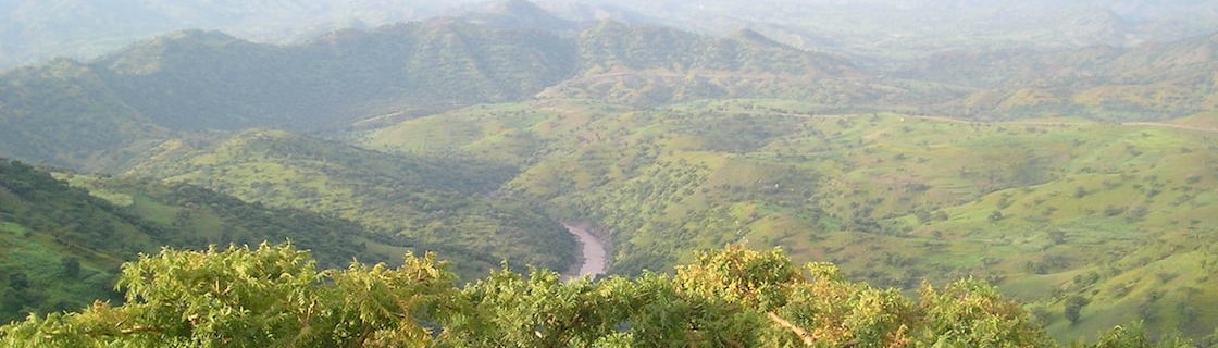
Landscape changes are important indicators of the nature of long term interactions between human activities and the natural environment. Many researchers have examined landscape dynamics in the northern Ethiopian highlands. However, most of them rarely address long term trajectories. Hence, this study was carried out in the northern Ethiopian highlands with the objective of examining long term landscape dynamics in relation to variability in natural resources management and rainfall. For this purpose, 11 steep (0.27-0.65 m m-1) mountain catchments were selected from the western Rift Valley escarpment of northern Ethiopia. Landscape change analysis was carried out using the aerial photos of 1936, 1965 and 1986 as well as Google Earth imageries of 2005, 2014 and 2017. Moreover, detailed field observations, focus group discussions and interviews with elderly people were carried out. The results indicate that in the 1940s, the proportion of woody vegetation cover was 65% while the size of crop land was 31%. In the 1960s and 1970s, the size of woody vegetation cover decreased to 48% while the size of cropland increased to 48%. Due to the reforestation interventions initiated as of the second half of the 1980s, forest cover increased from 9% in 1986 to 23% in 2005, 27% in 2014 and 29% 2017 while total woody vegetation cover increased from 52% in 1986 to 62% in 2005 and 2014 and 65% in 2017. On the other hand, the proportion of cropland decreased from 43% in 1986 to 31% in 2005, 31% in 2014 and 32% 2017. Moreover, seven hamlets and scattered settlements and fragmented farmlands which expanded to sloping parts of the catchments between the 1950s and first half of 1980s were abandoned after the second half of the 1980s. All in all this study reveals that changes in landscape in the study area were related to variability in land management practices in different periods and to rainfall variability.