

Use the "back" button of your browser to return to the list of abstracts.
MAPPING THE ETHIOPIAN HIGHLANDS IN THE 1860S: EUROPEAN TRAVELERS’ ITINERARIES AND MAPS MADE IN GOTHA [Abstract ID: 0514-11]
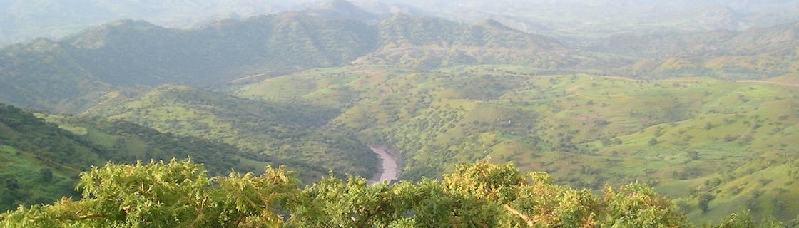
During the second half of the nineteenth century a handful of European travelers crossed the Ethiopian highlands, carefully noting the ways they had taken as suggested by their local guides. The respective tracks were put into written itineraries, which contained the directions taken as well as the most remarkable sites on the way: mountains, hills, rivers, settlements and the like. These itineraries including letters and notebooks written “in the field”, as the Europeans would call their travelling destinations, should come to Gotha – a hub of nineteenth century map making in the German lands. Here, chief cartographer, August Petermann carefully took up the information, sorting them in or out, by constructing his maps of the Ethiopian highlands. These maps carefully combined routes of several travelers, as Petermann had drawn together a large amount of geographic data from all over. However, it was his choice how to combine the local knowledge that travelers had transmitted to Gotha and to decide what ought to be put on the map and what should be left out. In my talk I will tackle the issue of travelling local knowledge with regard to the evidence found in Perthes business archives in Gotha. Hereby I will especially draw on the cases of singular travelers like Theodor von Heuglin, Ernst Marno, Joseph Menges and those Europeans who had already gone native like Werner Munzinger.