

Use the "back" button of your browser to return to the list of abstracts.
CAN WE MODEL IRRIGATION POTENTIAL IN A DATA SCARCE ENVIRONMENT? [Abstract ID: 0308-06]
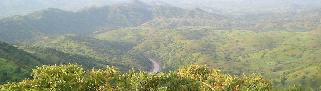
This paper proposes a methodology to model irrigation potential mapping in data scarce areas by using global remote sensing data. The model incorporates spatial data and spatial analysis, raster analysis tools and their application, the concept of irrigation water requirement, and estimates of the availability of irrigation water, based on simple and valid approaches. The protocols of GIS project design and execution in relation to remote sensing data are used for suitability map calibration and validation purposes to map irrigation potential, while NASA's SRTM is used to describe landmass topography. The Giba Basin (the upper tributary of Tekeze River in Ethiopia) is used as an example application to illustrate the methodology. To this end, parameter and input uncertainty are explicitly taken into account and visualized via probabilistic irrigation potential maps. Also, the study investigates the impact of land-use changes on irrigation schemes using the SWAT modelling tool and the propagation of this land-use change is visualized again using a probabilistic mapping approach. The GIS spatial analysis tools will analyze remote sensing and image analysis will map the land irrigation suitability using spatial data and estimation of irrigation water requirement and available water for irrigation using the SWAT model.